


New York Elevation Map
New York Elevation Map
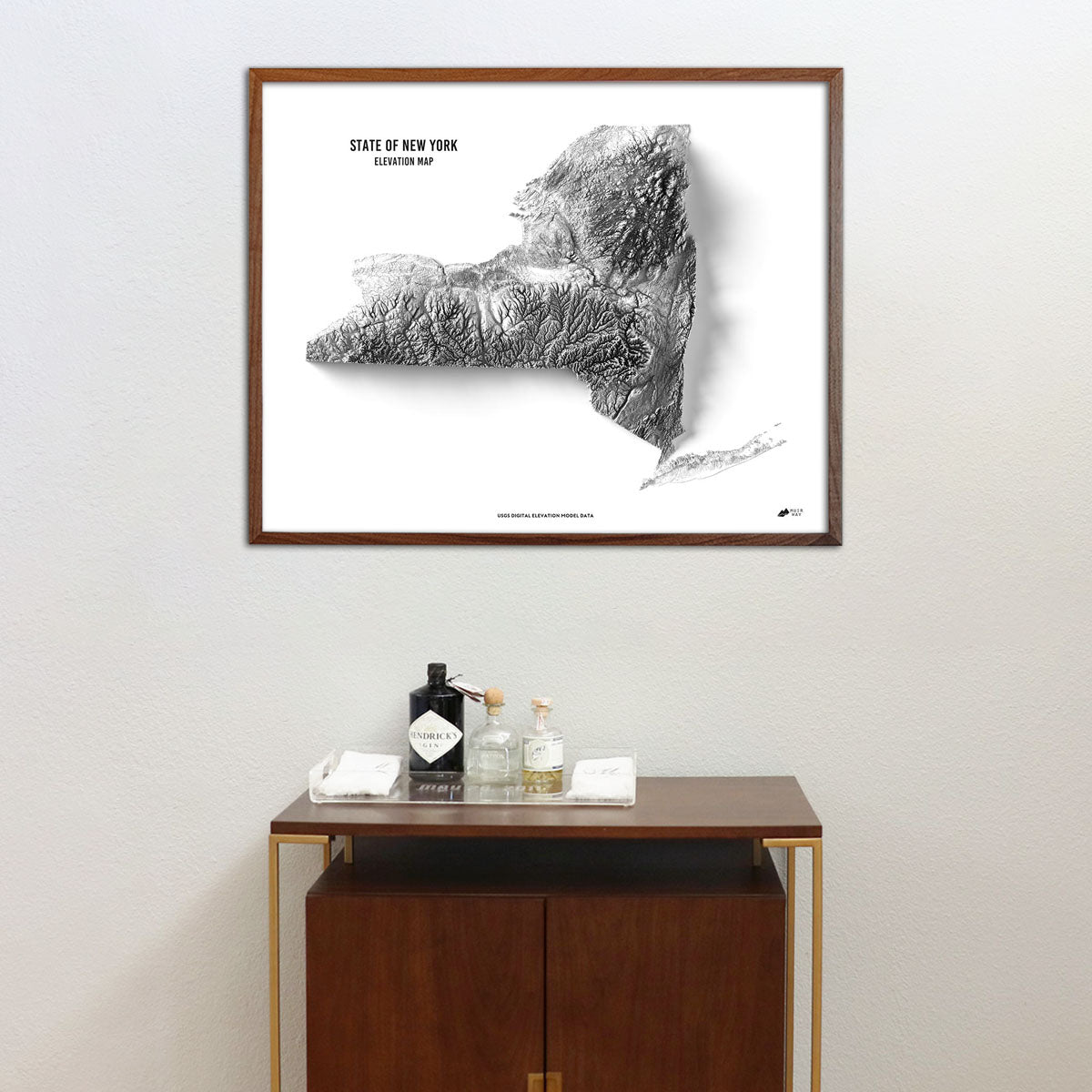
Explore the unique terrain of New York State with this museum-quality elevation map.
Regular price
$79
Regular price
Sale price
$79
Unit price
per
Couldn't load pickup availability
-
 Easy 15 Day Returns
-
 Fast & Secure Shipping
-
 Authorized Retailer
Editor’s Note
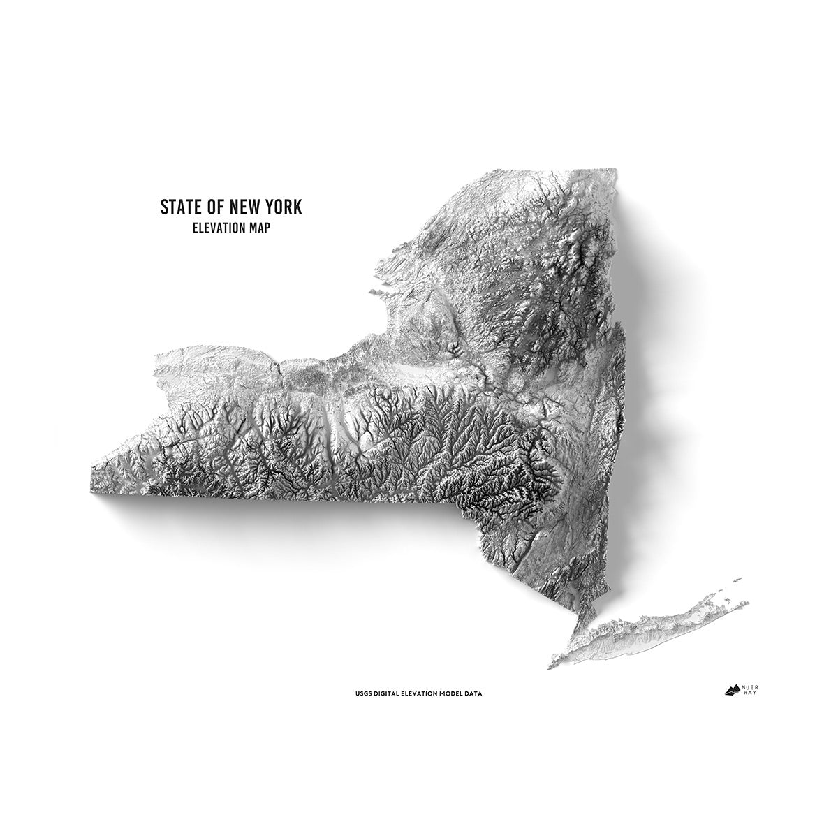
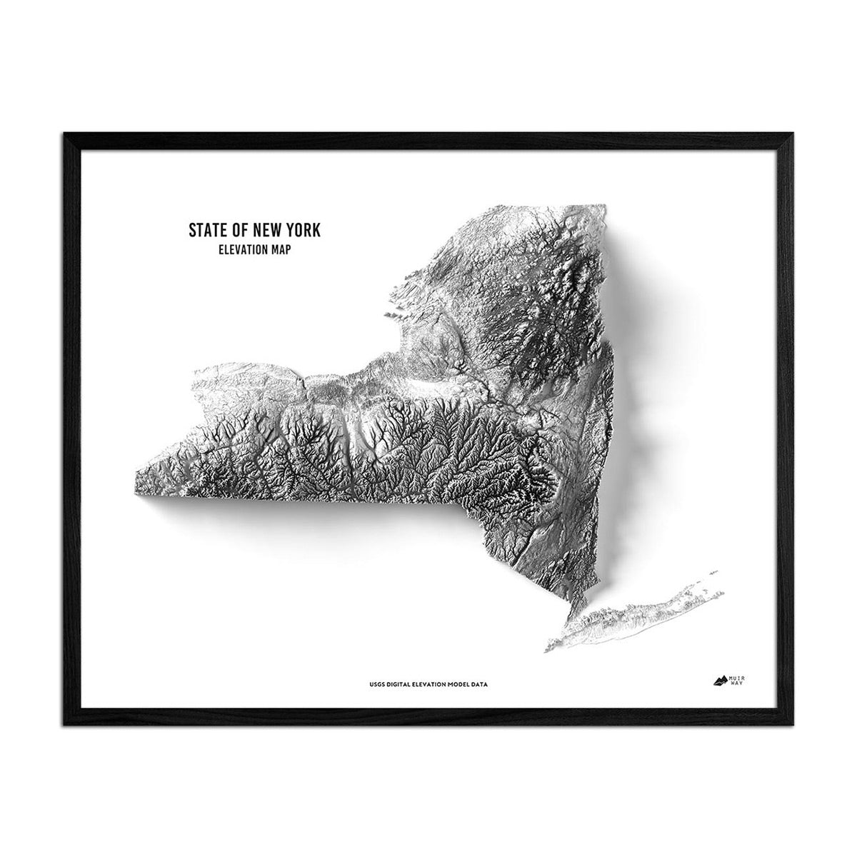
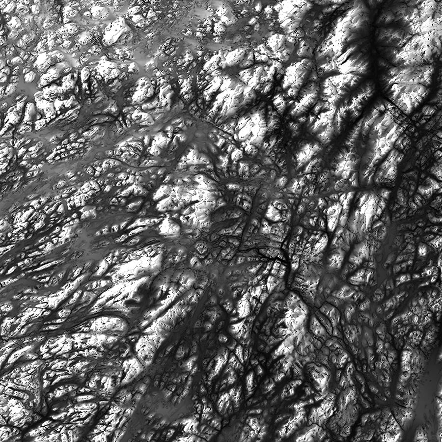
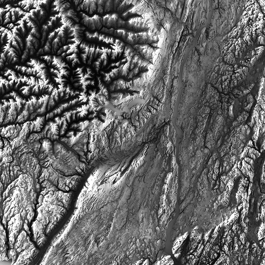
From the suburbs of the lower Hudson Valley to upstate, including the Adirondack and Catskill Mountains, New York has plenty of diverse terrain to explore. Using a relief map and data from the USGS, the features of New York’s terrain come to life in this museum-quality print. The map is produced on a 12-color gicleé printer using premium inks for intricately detailed, fade-free visuals. Each is printed on archival paper in the USA and certified to last 100 years.
Details & Specs
- Archival Paper and Inks
- 100% Cotton, OBA-Free, and Acid-Free
- Heavyweight 21.5 mil
- Certified to last 100 years