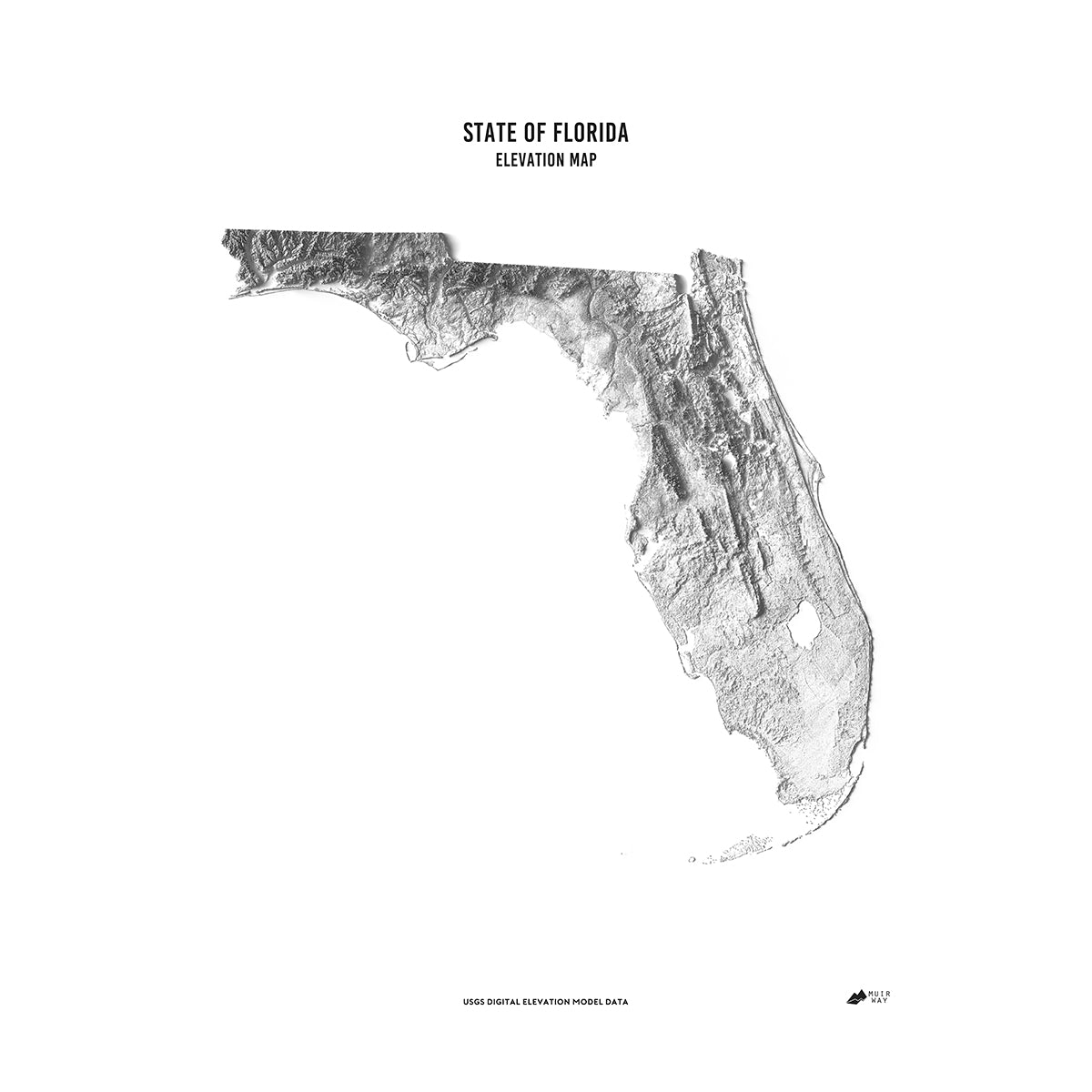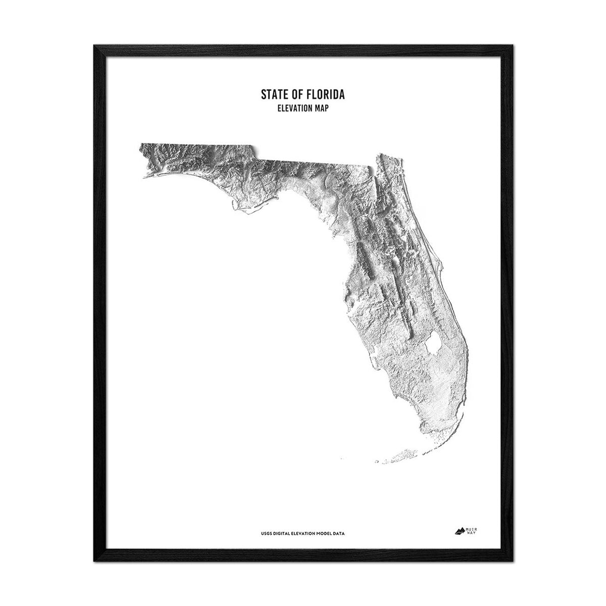


Florida Elevation Map
Florida Elevation Map
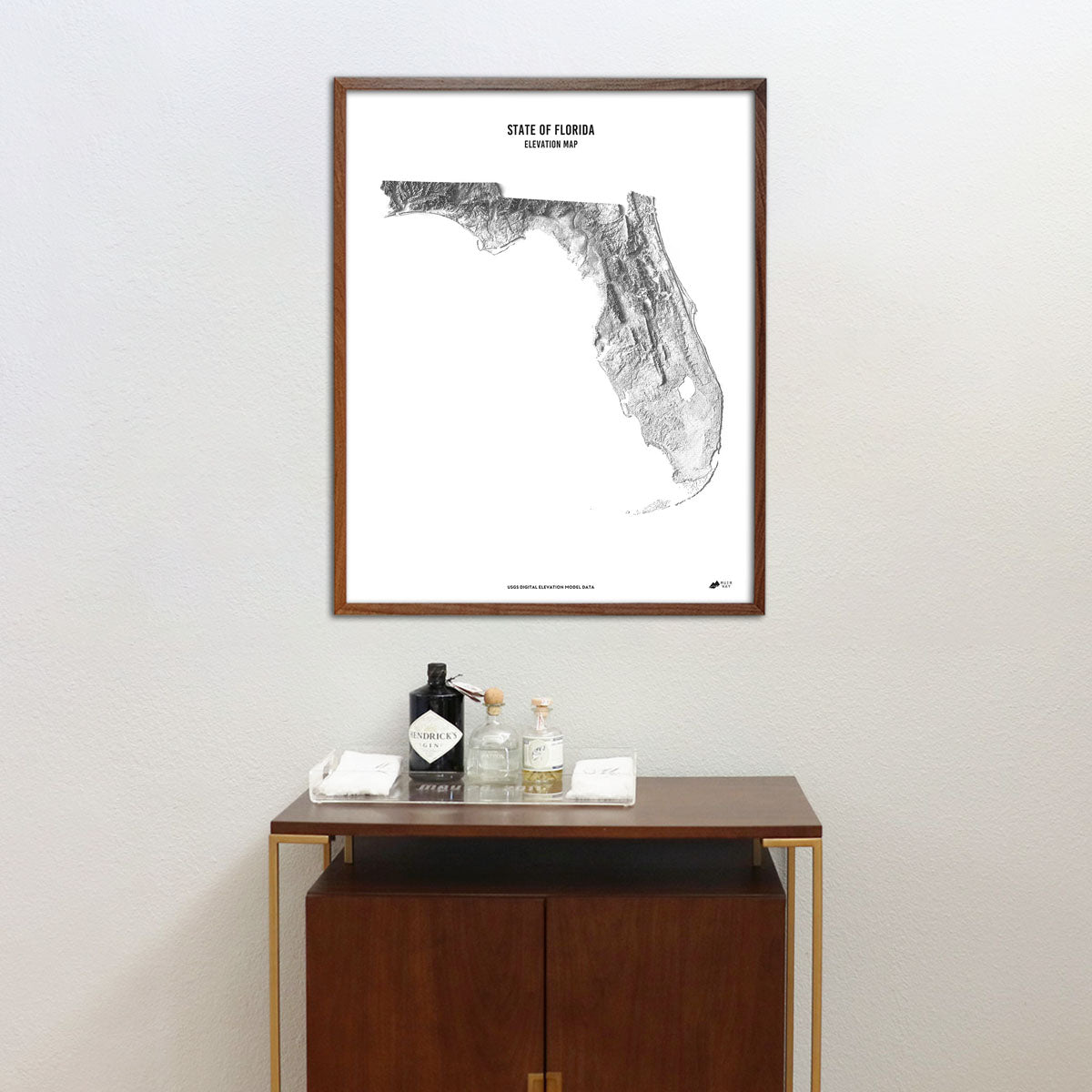
Explore the diverse terrain of the Sunshine State with this museum-quality elevation map.
Regular price
$79
Regular price
Sale price
$79
Unit price
per
Couldn't load pickup availability
-
 Easy 15 Day Returns
-
 Fast & Secure Shipping
-
 Authorized Retailer
Editor’s Note
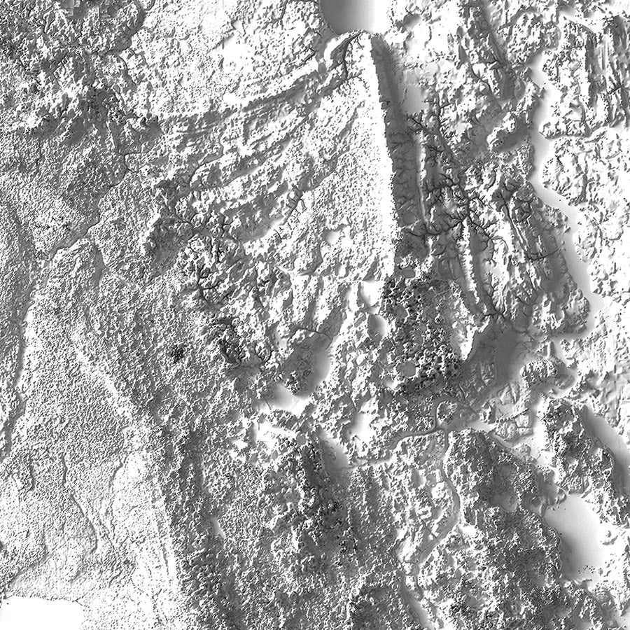
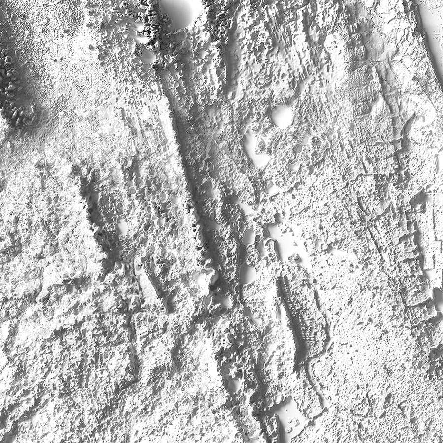
Boasting the longest coastline in the contiguous United States, Florida remains one of the country's most popular destinations. This elevation map offers a unique perspective on the Sunshine State through the use of DEM data that magnified the features of its terrain by exaggerating their elevations and applying hillshade. The maps are produced on a 12-color gicleé printer using premium inks for intricately detailed, fade-free visuals. The maps are printed on archival paper in the USA and certified to last 100 years.
Details & Specs
- Archival Paper and Inks
- 100% Cotton, OBA-Free, and Acid-Free
- Heavyweight 21.5 mil
- Certified to last 100 years