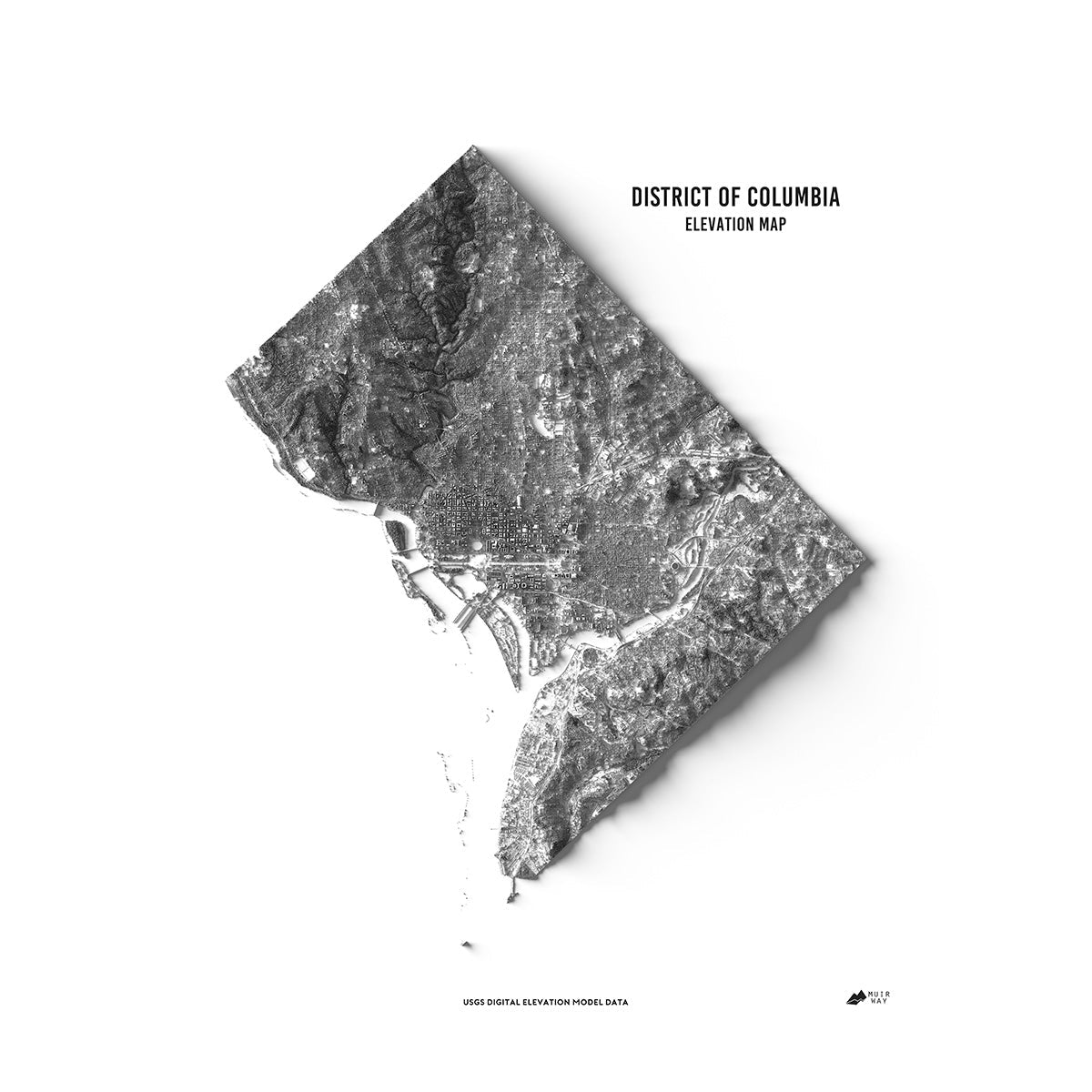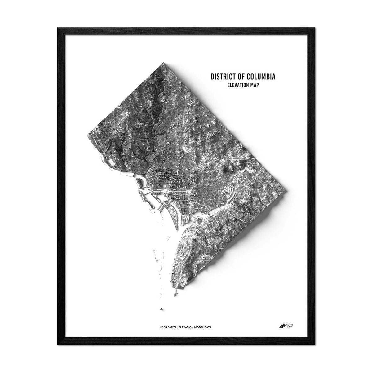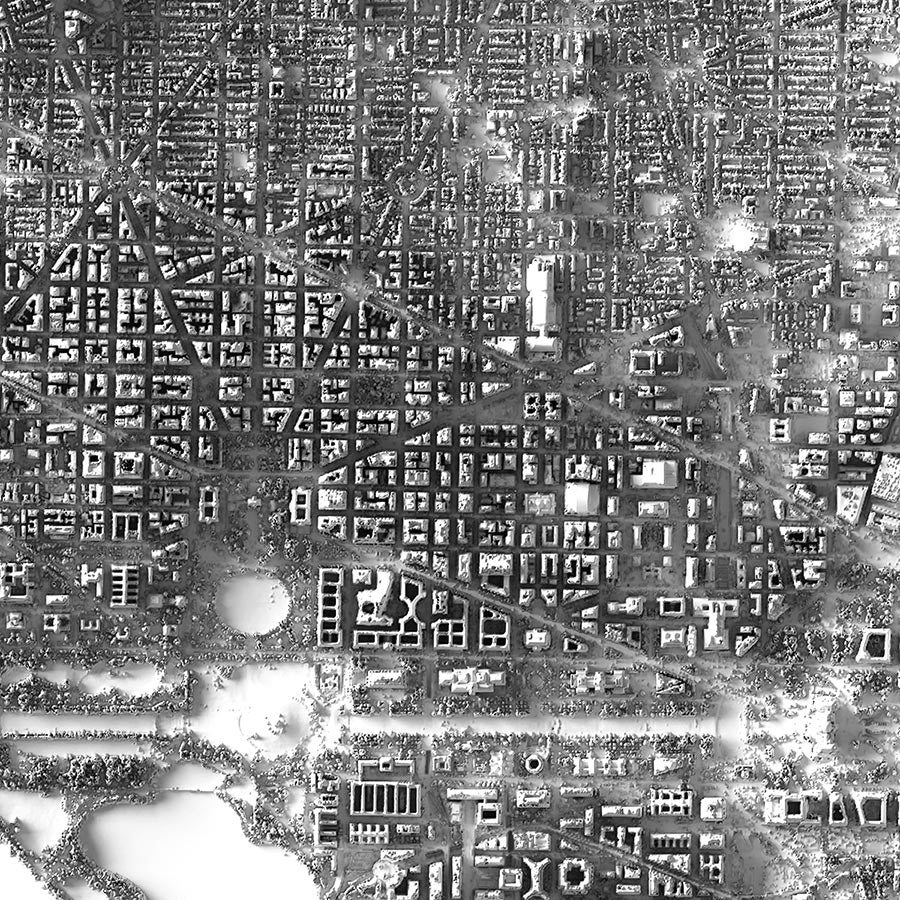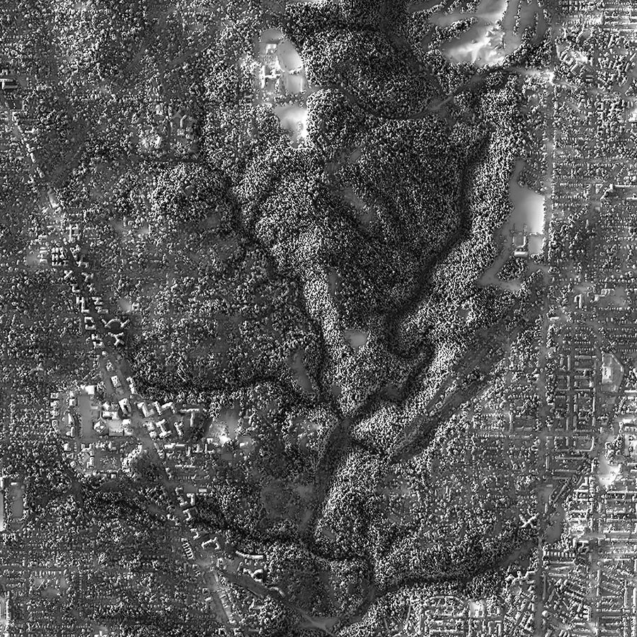


Washington D.C. Elevation Map
Washington D.C. Elevation Map
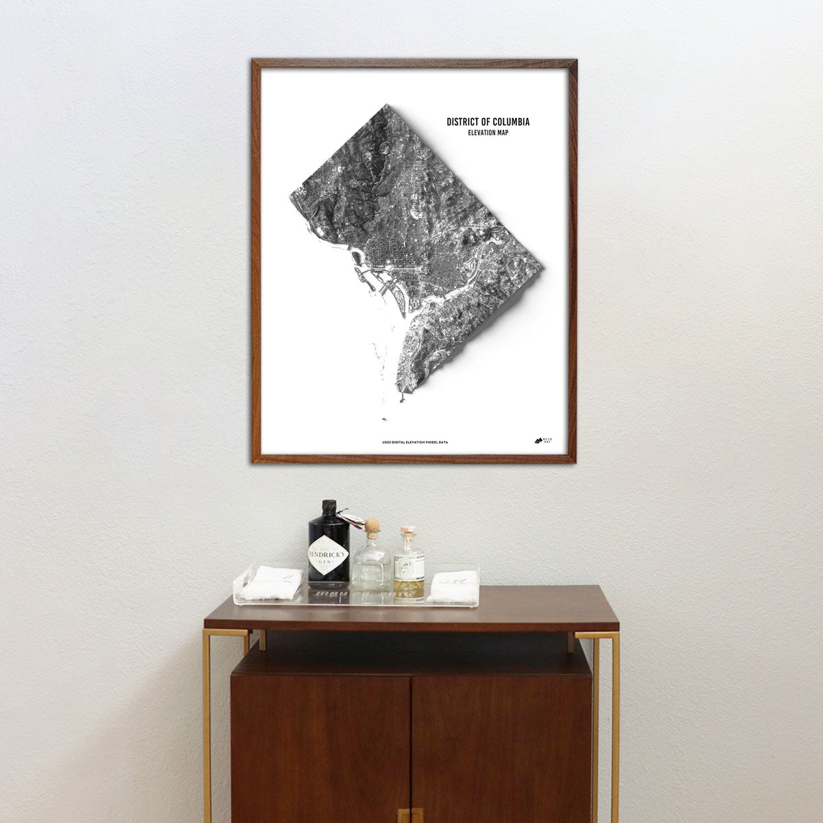
Explore the unique terrain of Washington D.C. with this beautiful elevation map.
Normaler Preis
€70,95
Normaler Preis
Verkaufspreis
€70,95
Grundpreis
pro
Verfügbarkeit für Abholungen konnte nicht geladen werden
-
 Easy 15 Day Returns
-
 Fast & Secure Shipping
-
 Authorized Retailer
Editor’s Note
In 1789, the U.S. Constitution called for the creation of a federal district under the jurisdiction of Congress. Since then, Washington D.C. has not been part of any state. It sits along the Potomac River and this elevation map provides a compelling visual of the area formerly known as the District of Columbia. Each map is produced on a 12-color gicleé printer using premium inks for intricately detailed, fade-free visuals. The maps are printed on archival paper in the USA and certified to last 100 years.
Details & Specs
- Archival Paper and Inks
- 100% Cotton, OBA-Free, and Acid-Free
- Heavyweight 21.5 mil
- Certified to last 100 years