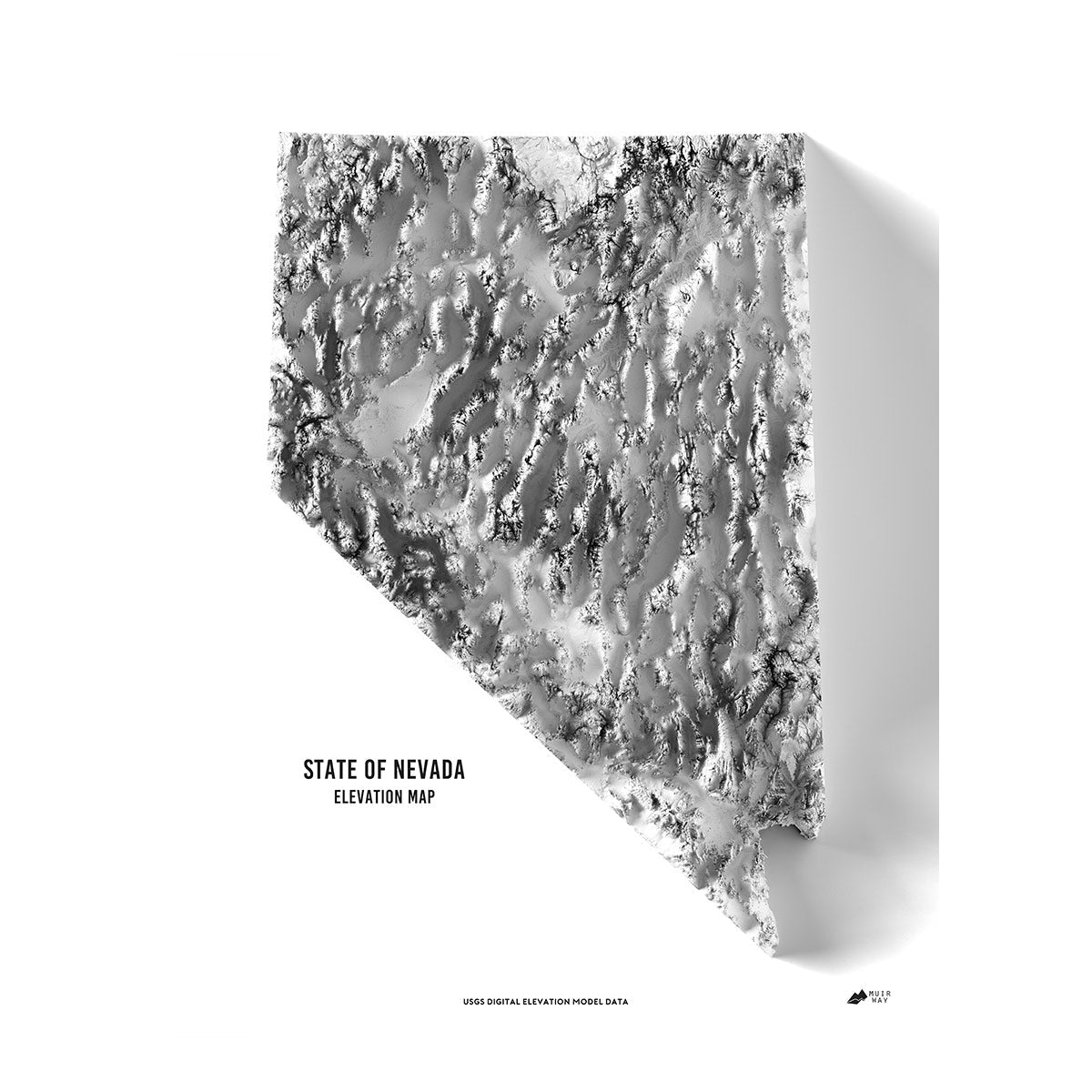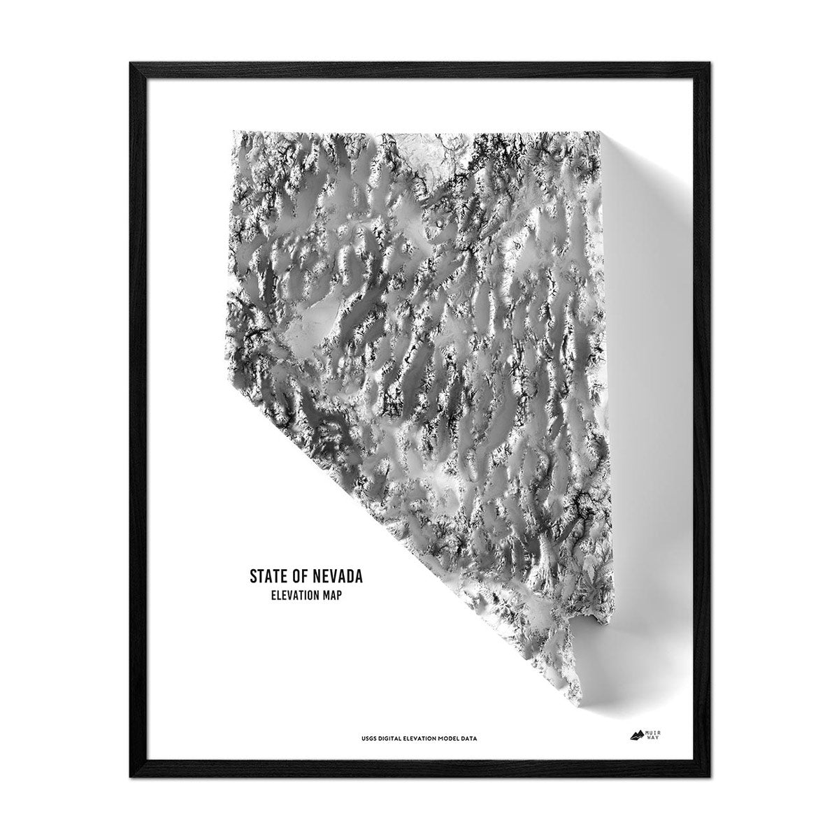


Nevada Elevation Map
Nevada Elevation Map
Explore the Silver State using this beautiful, museum-quality elevation map.
Regular price
€69,95
Regular price
Sale price
€69,95
Unit price
per
Couldn't load pickup availability
-
 Easy 15 Day Returns
-
 Fast & Secure Shipping
-
 Authorized Retailer
Editor’s Note
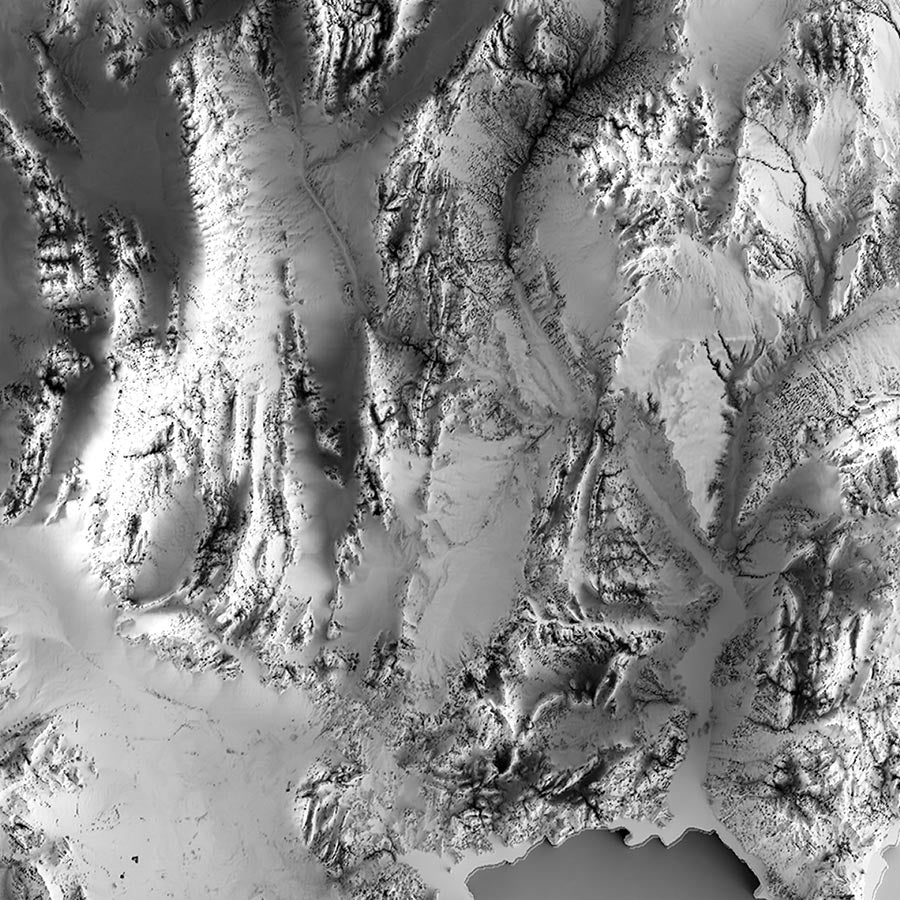
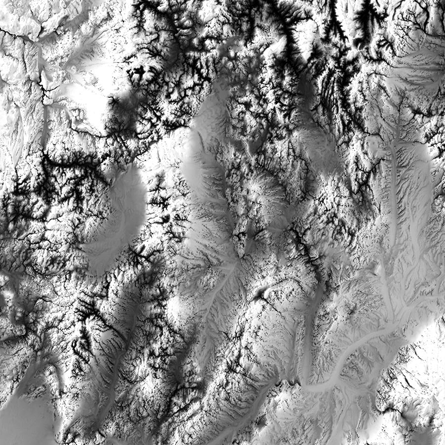
The 36th state, Nevada was welcomed into the union in 1864 during the Civil War. This relief map uses DEM data from the USGS with magnified features that help the Silver State shine. Each map is produced on a 12-color gicleé printer using premium inks for intricately detailed, fade-free visuals. The maps are printed on archival paper in the USA and certified to last 100 years.
Details & Specs
- Archival Paper and Inks
- 100% Cotton, OBA-Free, and Acid-Free
- Heavyweight 21.5 mil
- Certified to last 100 years