


Montana Elevation Map
Montana Elevation Map
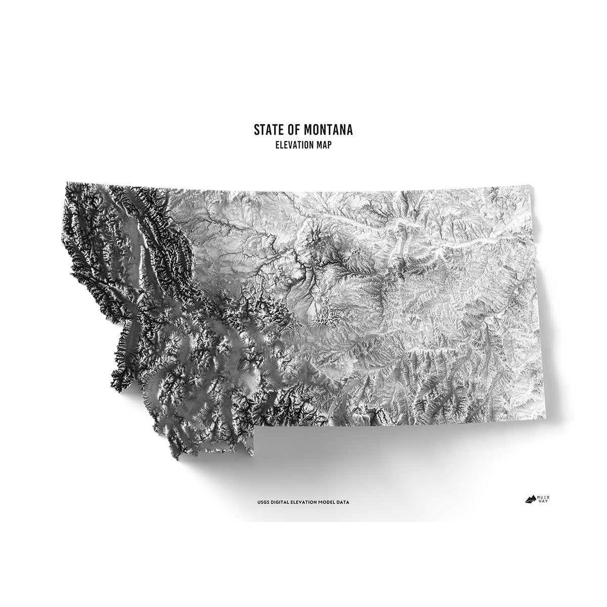
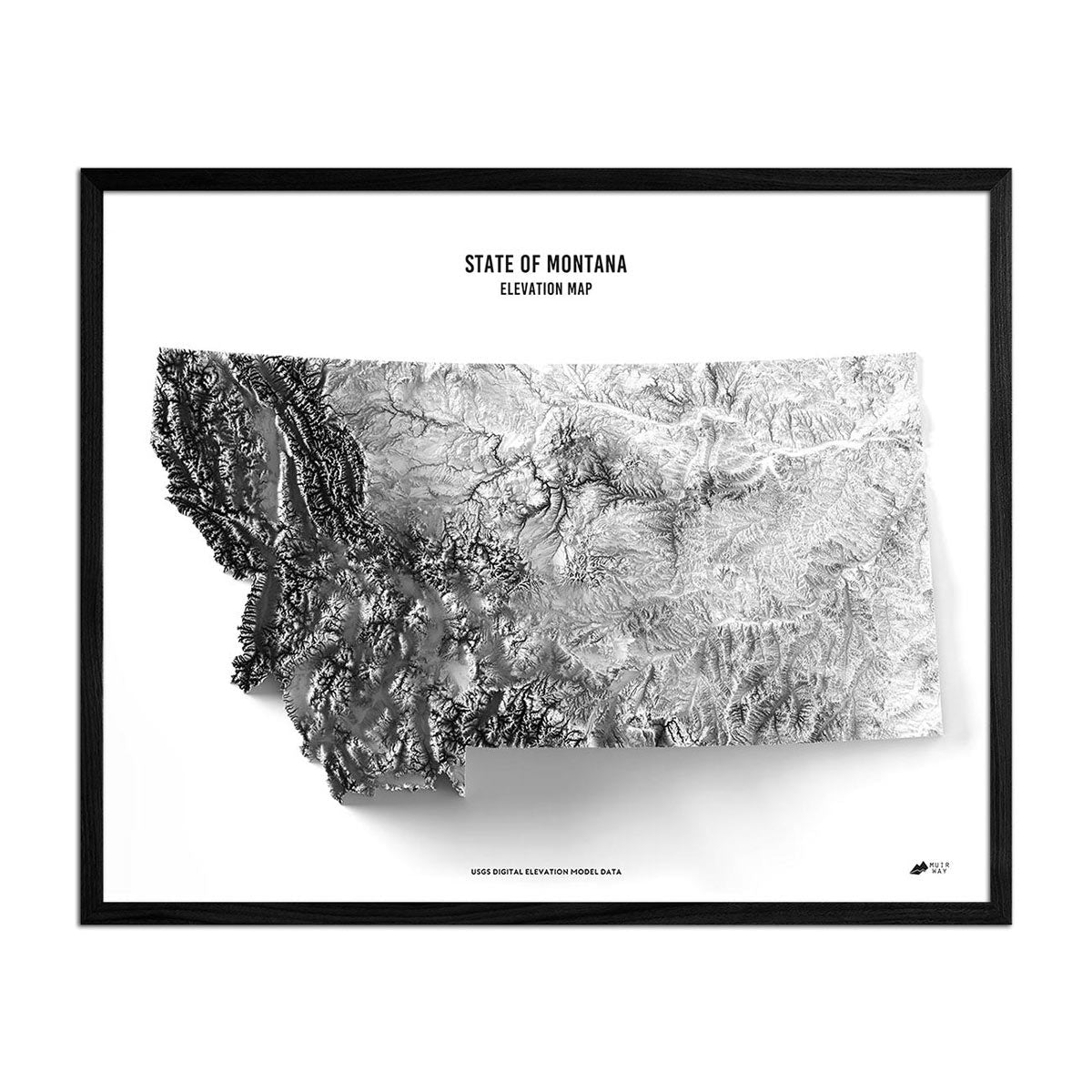
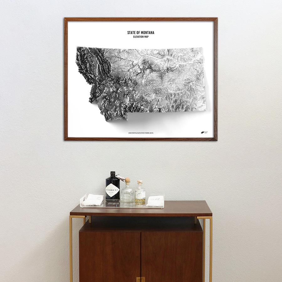
Explore Big Sky Country with this museum-quality elevation map of Montana.
Regular price
€70,95
Regular price
Sale price
€70,95
Unit price
per
Couldn't load pickup availability
-
 Easy 15 Day Returns
-
 Fast & Secure Shipping
-
 Authorized Retailer
Editor’s Note
Big Sky Country is the focus of this museum-quality elevation map. The map explores the state of Montana, with its diverse terrain that includes a hundred or more named mountain ranges in the western half of the state. The map magnifies the terrain features with exaggerated elevations for an effect that is compelling and beautiful. Each map is produced on a 12-color gicleé printer using premium inks for intricately detailed, fade-free visuals. They are printed on archival paper in the USA and certified to last 100 years.
Details & Specs
- Archival Paper and Inks
- 100% Cotton, OBA-Free, and Acid-Free
- Heavyweight 21.5 mil
- Certified to last 100 years